Walking the Fight: Tracing 92 Squadron's Aerial Battles from the Kent Footpaths Below
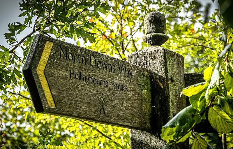
Photo: Ray B's world, CC BY 2.0, via Wikimedia Commons
There is a particular pleasure in standing in a Kent hop field — or what is now a bramble-choked corner of a nature reserve — and looking up at an empty sky, knowing that on a September afternoon in 1940 it was anything but empty. For those who study 92 Squadron, the Battle of Britain is not an abstraction confined to archive boxes. It is geography. And geography, unlike memory, can still be walked.
Reading the Sky from the Ground
The Squadron's operational record books, held at the National Archives, record engagements with a dispassionate precision that belies the chaos: time, height, position, enemy strength, claims. Cross-referenced against modern Ordnance Survey Explorer 147 and 148 sheets, those grid references place the fighting in startlingly familiar terms — above Tatsfield, over the Weald near Tonbridge, drifting south-east towards the coast at Folkestone.
What follows is not a definitive history but a walking guide: three routes, each beneath a documented engagement, each offering the vantage point from which the shape of a dogfight becomes legible.
Route One: Tatsfield and the North Downs Edge
Start: Tatsfield village hall car park, TN16. Distance: roughly 4 miles. Terrain: gentle, well-marked public footpaths.
On 30 September 1940, 92 Squadron's Spitfires engaged enemy formations over the North Downs, the combat report noting the action at heights between 15,000 and 20,000 feet. From the chalk grassland of the North Downs Way near Tatsfield, the open southern prospect is exactly the canvas on which such an engagement unfolded. Walkers should pause at the viewpoint above the village — grid reference approximately TQ 405 565 — where the whole sweep of the escarpment is visible.
Practical note: the 464 bus from West Croydon serves Tatsfield on weekdays; a car is otherwise advisable. The village shop closes at midday on Sundays.
Route Two: The Weald Between Penshurst and Tonbridge
Start: Penshurst station. Distance: 6 miles, linear. Terrain: field paths, two stiles, muddy after rain.
The Weald's patchwork of small woods and hedged fields was, from fifteen thousand feet, a textured floor against which contrails and falling aircraft were tracked by observers on the ground. 92 Squadron was repeatedly vectored over this area during the closing weeks of the battle. The footpath south from Penshurst towards Chiddingstone Causeway crosses open farmland with long sightlines to the south — ideal for imagining the geometry of a running fight.
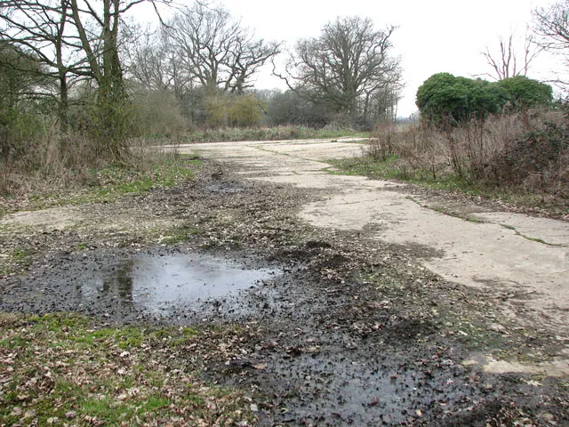
Those wishing to extend the day might detour to Penshurst Airfield's memorial, a short cycle ride away, where the wider story of Kent's fighter fields is told.
Route Three: The Coast at Capel-le-Ferne
Start: Battle of Britain Memorial, Capel-le-Ferne. Distance: 3 miles of cliff-top path. Terrain: level, exposed — take windproofs.
No walk on this theme should omit the memorial itself, where the Christopher Foxley-Norris Wall lists the names of the Few, including men of 92 Squadron. From the memorial, the Channel panorama explains in an instant why the Luftwaffe's routes were what they were. Continue east along the Warren's cliff path for the perspective of a pilot crossing the coast at low altitude.
A Word on Sources and Sensitivity
Enthusiasts tracing these routes should carry a current OS map — footpaths change — and remember that several sites border working farmland and private land. The combat reports themselves are freely available at the National Archives in Kew, and the Squadron's own operations record books are also digitised through the RAF Commands community archives.
There is a discipline to this kind of heritage travel: verify, walk, look up, and record what you find. The pilots of 92 Squadron fought in three dimensions; the least we can do, eighty years on, is read the second dimension they left behind on the map.